Andes and Avenue of Volcanoes
A 600 km corridor between two Andean mountain ranges, punctuated by eight volcanoes over 5,000 metres, Kichwa markets and colonial haciendas.
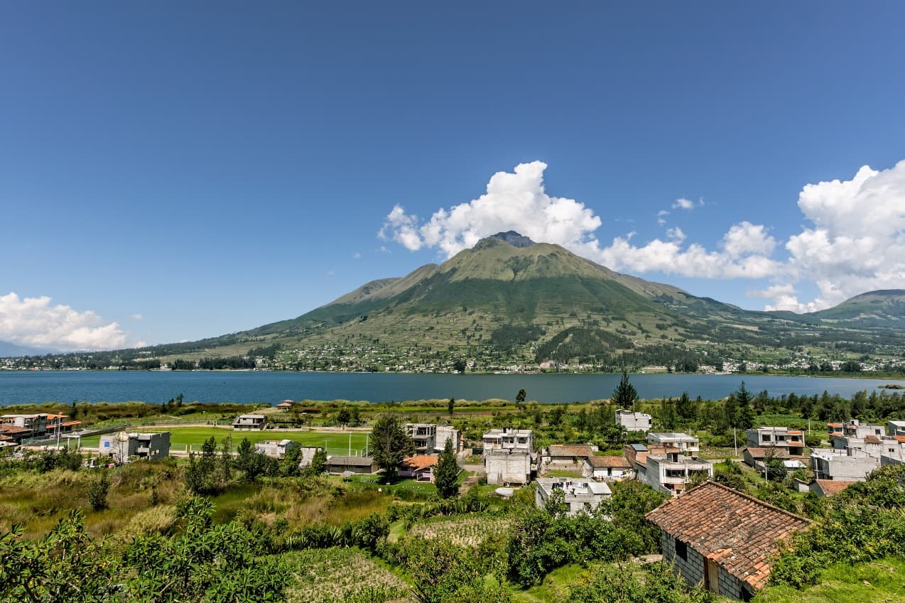
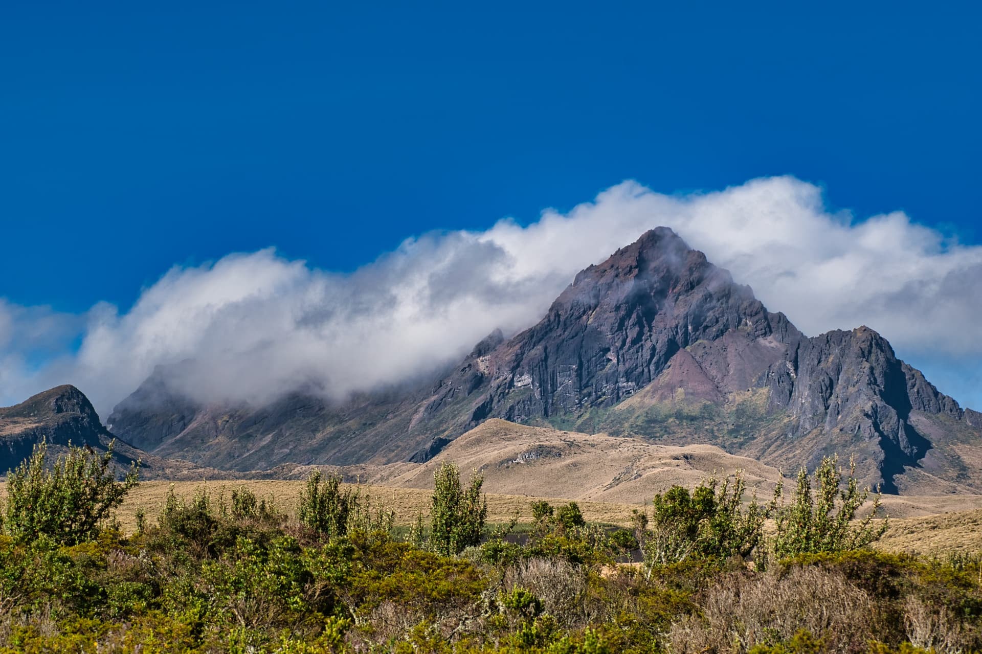
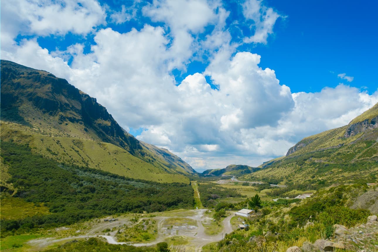
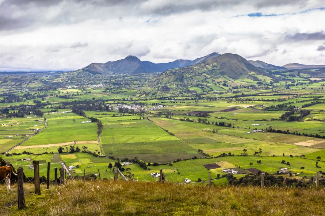
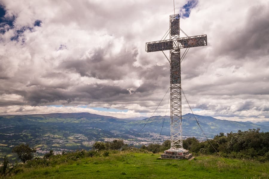
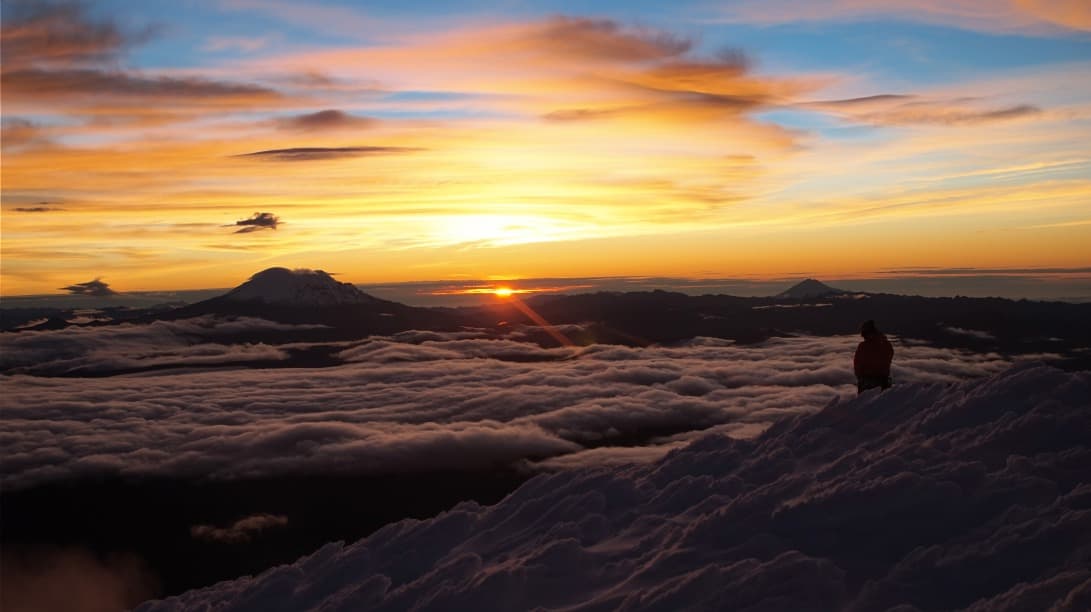
The Avenue of Volcanoes is the name given by naturalist Alexander von Humboldt in 1802 to the Andean corridor that crosses Ecuador from north to south. Over approximately 600 kilometres between Tulcán, on the Colombian border, and Loja, approaching Peru, the mountain range splits into two parallel chains framing a succession of high-altitude basins. In between, the Panamericana connects colonial cities and indigenous villages, passing alongside a dozen volcanoes, eight of which exceed 5,000 metres: Cotopaxi (5,897 m), Chimborazo (6,263 m), Cayambe (5,790 m), Antisana, Tungurahua, Sangay, Iliniza and Cotacachi.
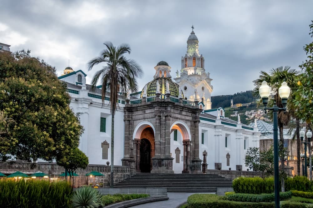
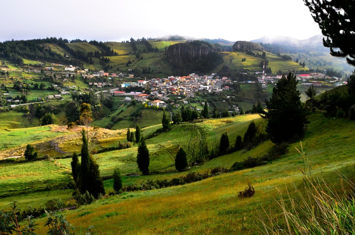
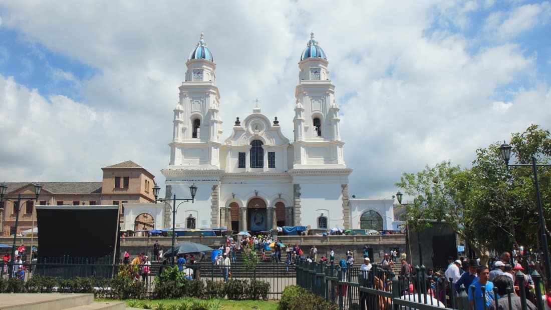
The inhabited valleys sit between 2,200 and 3,500 metres altitude. Quito, the capital, stretches across 2,850 metres in a long corridor at the foot of Pichincha. Its historic centre, UNESCO-listed in 1978, preserves around thirty colonial churches, including La Compañía, entirely covered with gold leaf inside. Temperatures are stable year-round: 18 to 22°C during the day, 5 to 10°C at night, with a sharp temperature drop at sunset. The dry season runs from June to September in the northern Sierra, more pronounced from December to February in the central Sierra.
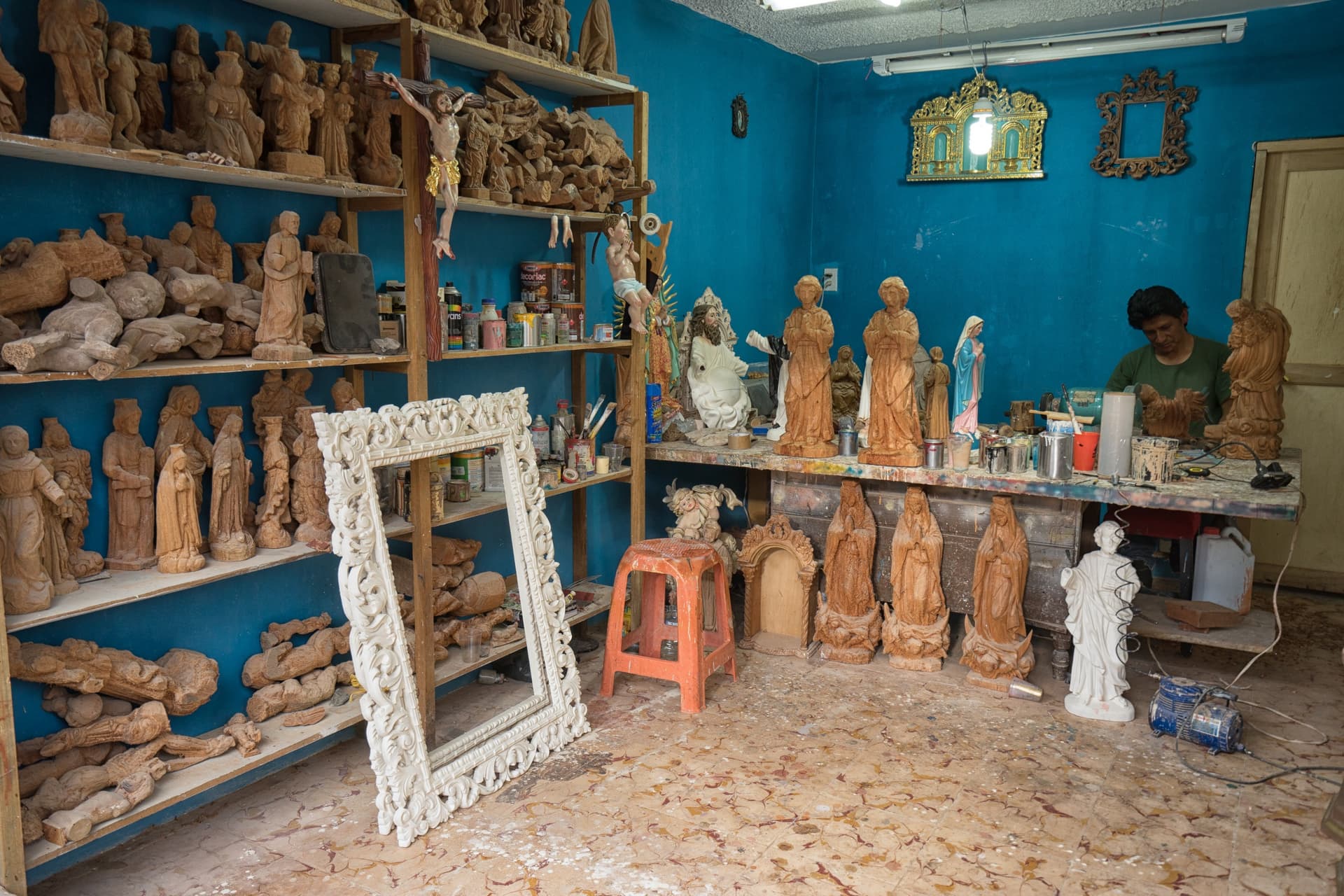
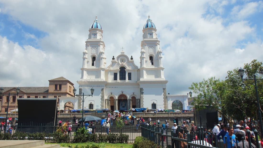
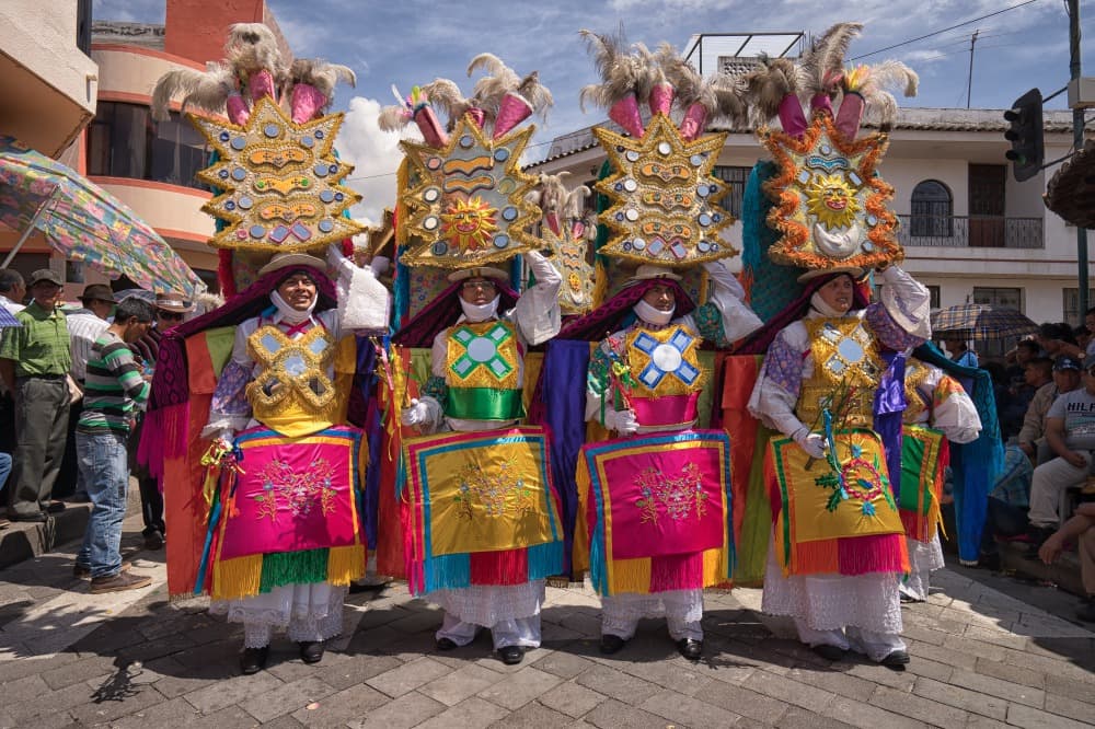
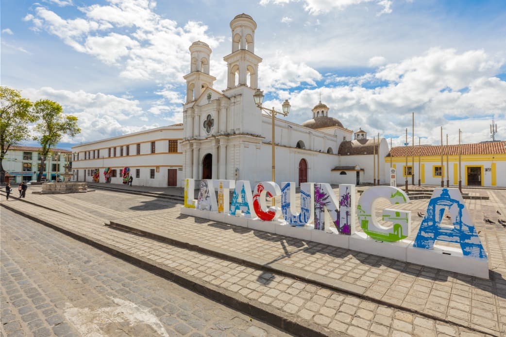
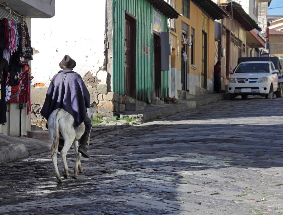
The region concentrates the majority of the country's indigenous population, primarily Kichwa-speaking, organised in rural communities that have preserved their agricultural and textile economy. The Otavalo market, two hours north of Quito, operates daily but peaks on Saturday: the Plaza de los Ponchos welcomes weavers from 6 a.m., while the neighbouring square hosts livestock trading. Surrounding villages—Peguche, Cotacachi, Iluman—specialise respectively in pedal weaving, leather work and traditional healing. Further south, the Salasaca community, between Ambato and Baños, produces tapestries dyed with natural pigments.
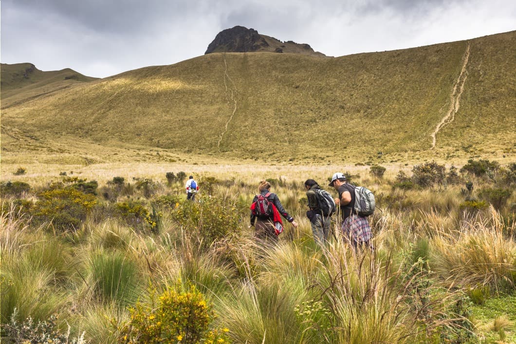
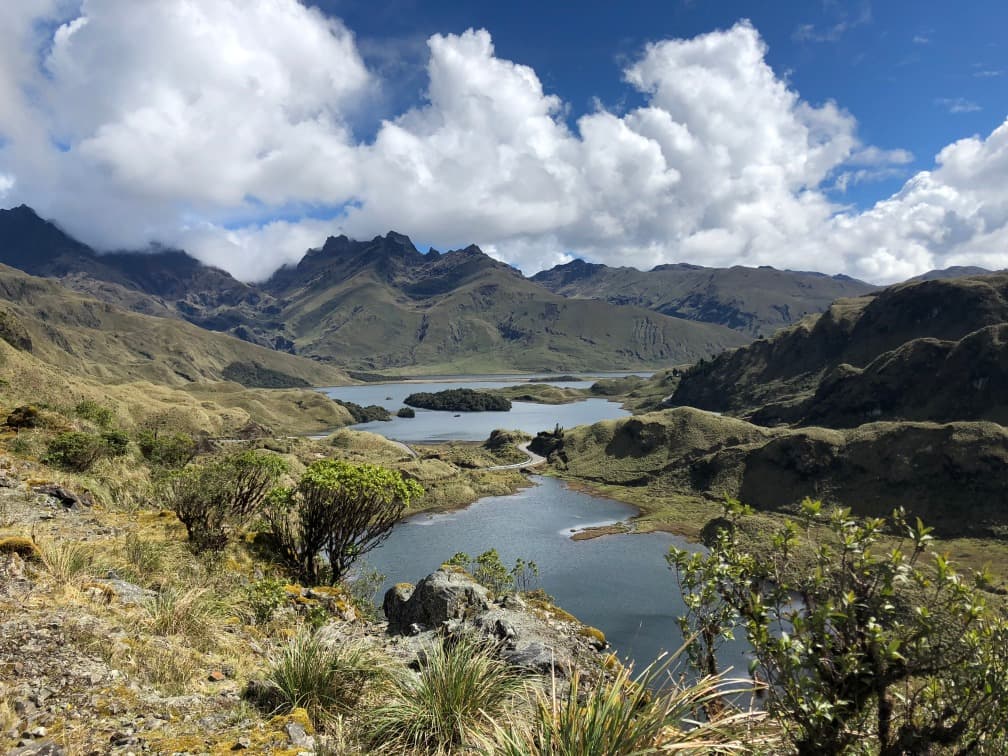
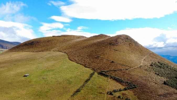
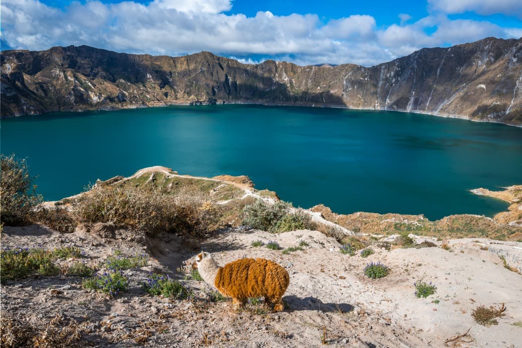
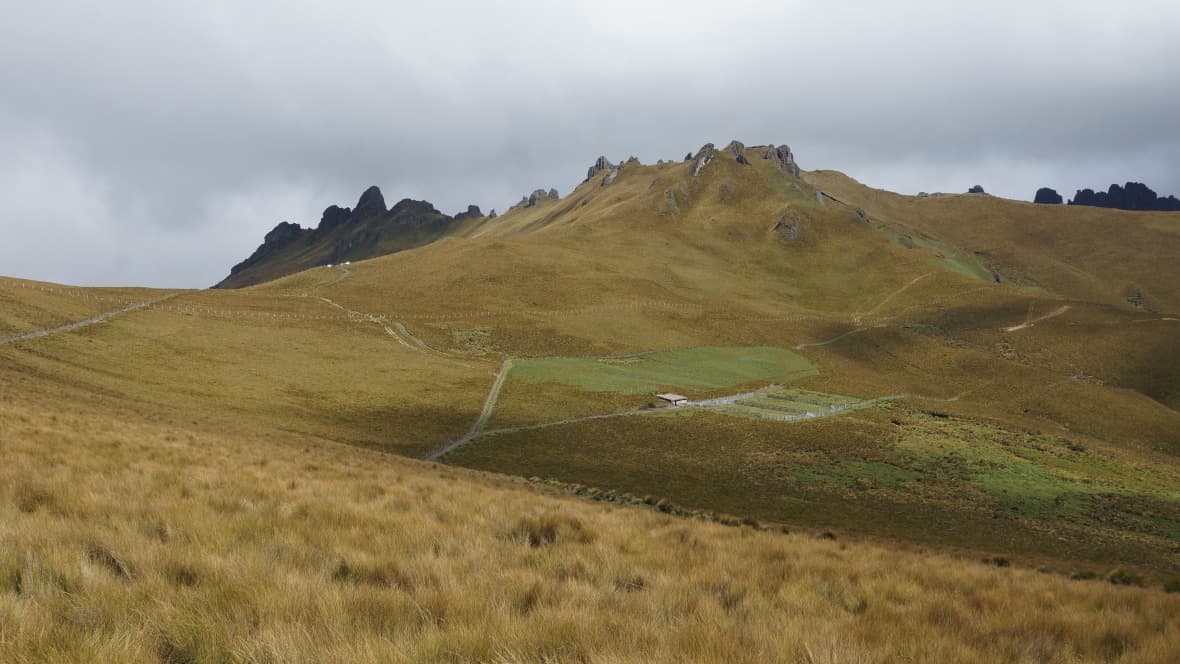
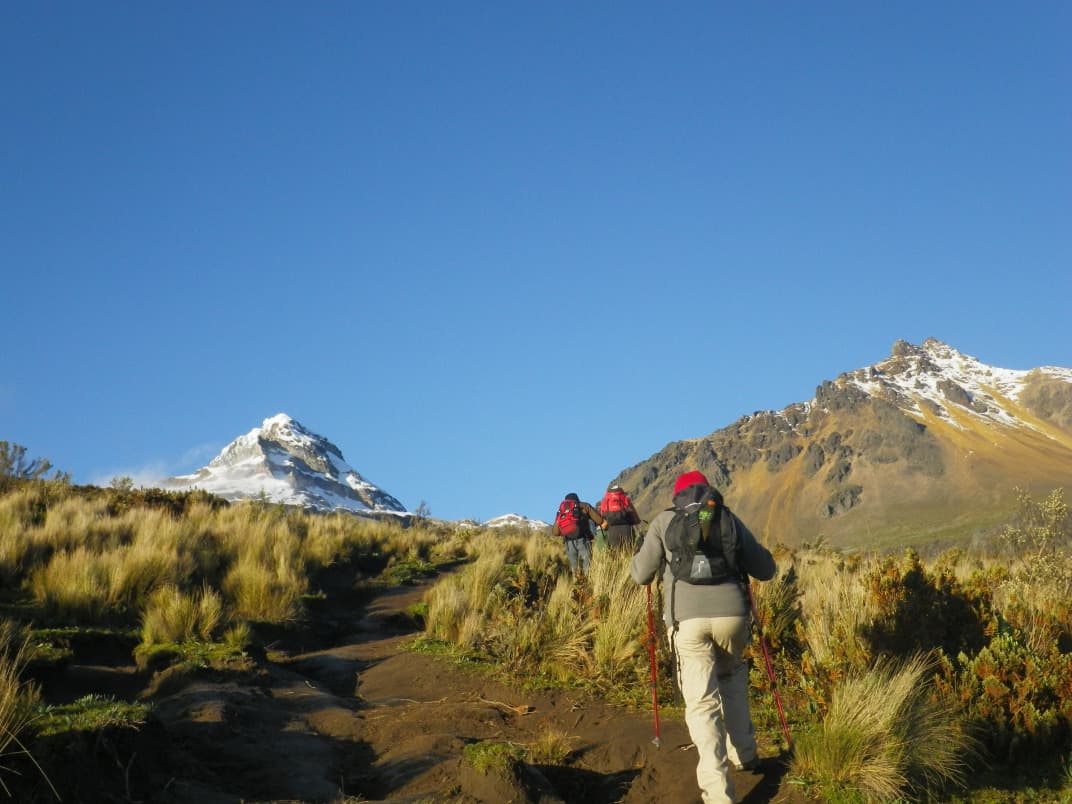
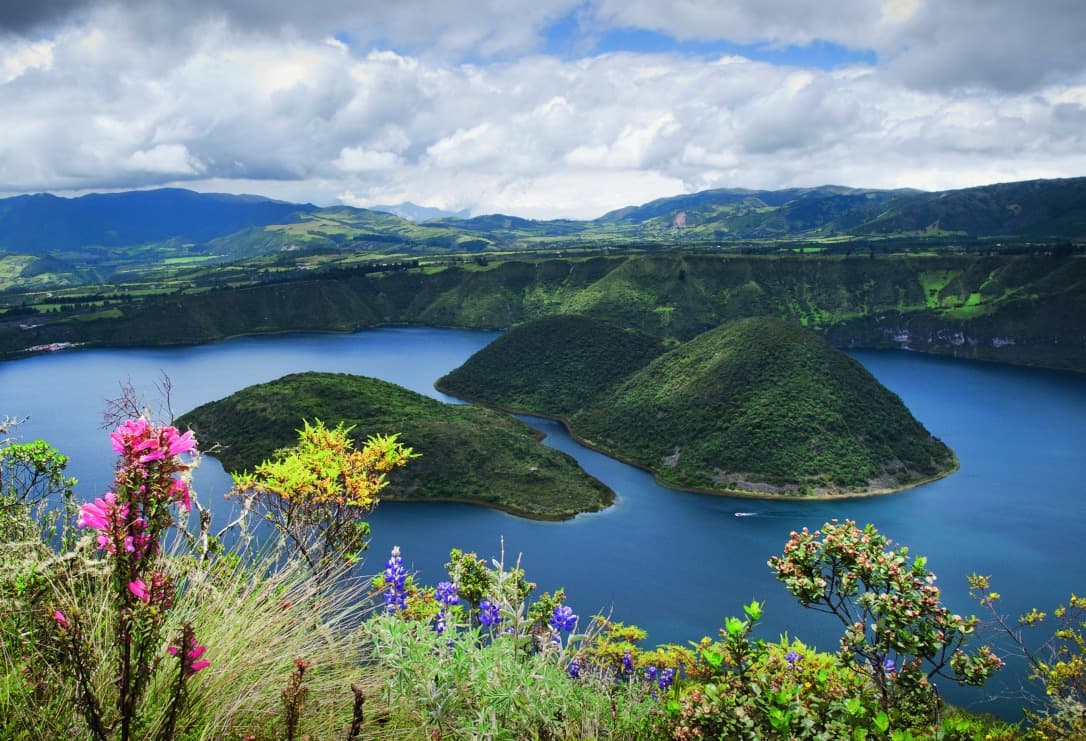
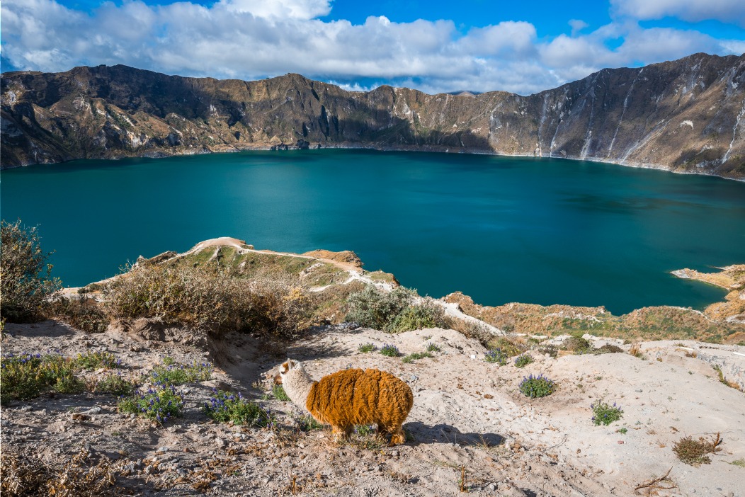
The centre of the Avenue concentrates the most accessible volcanoes. Cotopaxi National Park, 1.5 hours' drive from Quito, allows vehicle access to the car park at 4,500 metres, then a hiking climb to the José Rivas refuge at 4,864 metres. Summiting the glaciated peak remains reserved for accompanied alpinists. Chimborazo, further south near Riobamba, offers acclimatisation walks up to 5,000 metres on its lunar slopes populated by vicuñas. Between the two, Lake Quilotoa fills a volcanic crater three kilometres in diameter with mineral turquoise water, at 3,900 metres.
Baños de Agua Santa, at just 1,800 metres, marks the transition between the Sierra and the Amazon. Nestled against the still-active Tungurahua volcano, this small town serves as a base for hikes to Pailón del Diablo waterfall, an 80-metre cascade, and thermal baths fed by the volcano's hot springs. Andean cuisine centres on corn in all forms (humitas, choclo, mote), potatoes (locro de papa, creamy soup with cheese and avocado), roasted guinea pig (cuy asado, a specialty of the Cuenca and Cañar regions) and hornado, pork slowly cooked in a wood-fired oven, the traditional Sunday dish of the central Sierra.
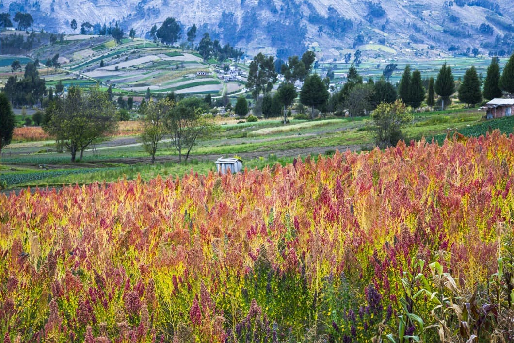
Beyond the major sites, what justifies a detour into the Ecuadorian Andes lies in the density of experiences across short distances: you move from a Kichwa market to a high-mountain refuge, from a 17th-century hacienda converted into a hotel to a natural dye workshop, sometimes all in a single day.
To discover
Otavalo market on Saturday. From dawn at the Plaza de los Ponchos, Kichwa weavers display ponchos, rugs and alpaca goods. The neighbouring livestock market opens at 5 a.m. and closes around 9 a.m.
Climbing to Cotopaxi refuge. Hiking from the car park at 4,500 metres to the José Rivas refuge at 4,864 metres, across the black-sand slopes of the volcano. Approximately one hour of effort once acclimatised.
Turquoise Quilotoa crater. Four-day loop through the Andean villages of Sigchos, Isinliví and Chugchilán, before reaching the crater's rim at 3,900 metres and descending on foot to the lake.
Baños and Pailón del Diablo waterfall. An 80-metre cascade into a tropical gorge, accessible by a trail that passes behind the curtain of water. Best combined with La Virgen hot springs at the foot of Tungurahua.
Hacienda Zuleta and embroiderers. A 17th-century former hacienda that once belonged to an Ecuadorian president, at 2,800 metres in Imbabura province. The village's embroiderers have worked since 1940 on floral motifs passed down from mother to daughter.
When to visit
The Ecuadorian Andes can be visited year-round thanks to their position on the equatorial line, which eliminates seasonal temperature variations. The best period remains June to September: clear skies in the morning, temperatures of 18 to 20°C during the day, 3 to 7°C at night in the valleys and near freezing above 4,000 metres. This window offers the best visibility of the peaks, particularly for photographing Cotopaxi and Chimborazo, which remain shrouded in cloud for much of the rest of the year. December to February constitutes a second favourable season, drier in the central and southern Sierra (Riobamba, Cuenca, Loja).
February to May marks the rainy season, with showers concentrated in the late afternoon (rarely all day) and mornings often clear. Mountain trails become muddy and some secondary roads impassable, but this is also the greenest period. October and November are transitional, rainy months to avoid for high-altitude activities. Note that Baños, at a lower elevation of 1,800 metres, maintains a subtropical climate with 20 to 24°C year-round and more regular rainfall due to its proximity to the Amazon.
Practical advice
We recommend a minimum of 6 days to traverse the Avenue of Volcanoes between Otavalo in the north and Riobamba in the south, including two acclimatisation nights in Quito before any walking above 4,000 metres. Allow 8 to 10 days to add Lake Quilotoa, Baños and a hacienda stay. Quito's Mariscal Sucre International Airport, 45 minutes from the city centre, is the region's only entry point. Distances are short (Otavalo at 2 hours, Cotopaxi at 1.5 hours, Baños at 3.5 hours, Riobamba at 4 hours) but mountain roads reduce average speeds.
The region naturally combines with the southern Andes and Cuenca by road (gradual descent to Loja) or by domestic flight from Quito. The classic route to the Amazon departs from Baños or Tena, 3 hours' drive away. Galápagos connections are via return flights to Quito or Guayaquil. Accommodation ranges from village inns to high-end historic haciendas, with good mid-range options in colonial cities. The region suits both those seeking contemplation (haciendas, craft workshops, thermal baths) and independent walkers (Quilotoa loop, Cajas park, Cotopaxi and Chimborazo refuges). Travellers sensitive to altitude should plan a gradual ascent and avoid strenuous activity for the first 48 hours.