Cayambe
Cayambe
An hour from Quito, Cayambe blends snow-capped volcano straddling the equator, vibrant indigenous markets and artisanal biscuits renowned throughout Équateur.
Cayambe is an Andean town in Pichincha province, perched at approximately 3,000 meters altitude, about an hour northeast of Quito. It sits directly on the equatorial line and is dominated by Cayambe volcano, Équateur's third-highest peak. The town is known throughout the country for its bizcochos (dry biscuits) and dairy production, as well as serving as a gateway to the highlands of Cayambe-Coca.
Quick practical information
- Access from Quito: buses from Carcelén terminal or car via the Panaméricaine Norte (approximately 1 hour).
- Altitude: approximately 2,830 m — allow time for acclimatization if arriving from the coast.
- Suggested duration: half a day for the town; a full day if heading up toward the volcano refuge.
- What to wear: layering is essential — wind can be brisk even during the dry season.
What to see
The town center revolves around a lively main plaza, bordered by a colonial church and shops selling the famous bizcochos. Local markets display fresh cheeses, manjar de leche and farm produce from neighboring indigenous communities. On the outskirts, flower haciendas reflect the region's status as one of the major rose-growing basins for export.
History and context
Cayambe was an important center of the Cayambi people before Inca and Spanish conquest. The resistance of chief Nasacota Puento against the Incas is still celebrated locally. The town has retained a strong Kichwa identity, visible during the Inti Raymi celebrations (June solstice), among the most vibrant in the northern Sierra.
Highlights of your visit
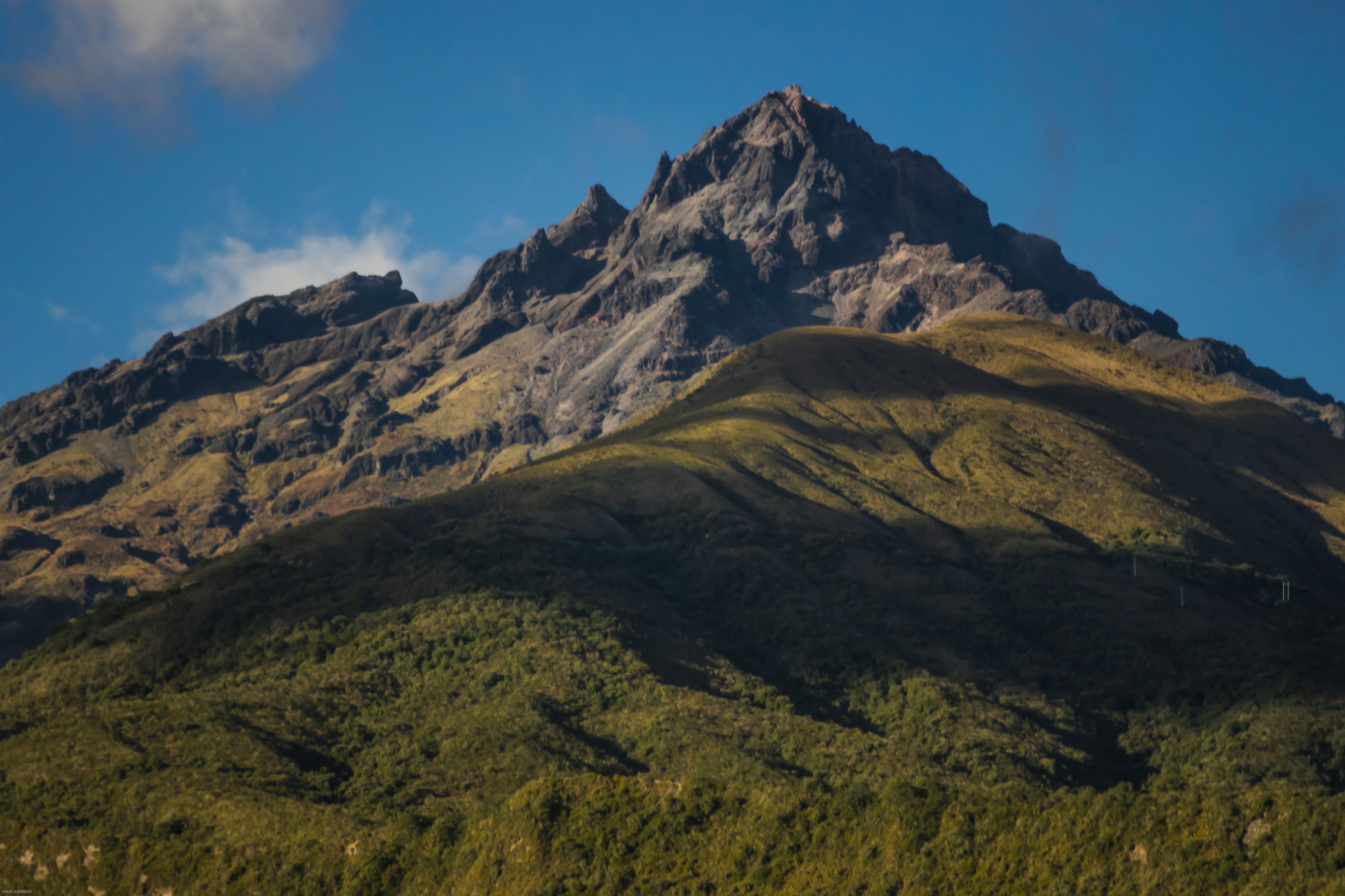
Cayambe volcano
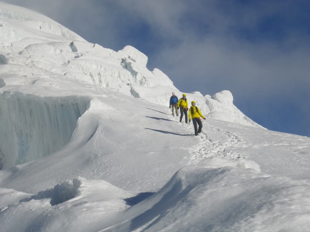
Towering at 5,790 m, Cayambe is the only peak in the world located exactly on the equator that bears permanent snow. The Ruales-Oleas-Berge refuge, accessible by 4×4 vehicle then on foot, offers breathtaking views of the glaciers. The full ascent is reserved for experienced mountaineers with a guide.
The equatorial line
Several points in the municipality lie on the geographical equator (latitude 0°). Less crowded than the Mitad del Mundo near Quito, these sites offer the experience without the crowds.
Cayambe's bizcochos
Artisanal bakeries in the center have produced these lard-based dry biscuits, baked in wood-fired ovens, for generations. Tasting them with local manjar de leche is an unmissable ritual for Équateur travelers passing through.
Inti Raymi
Each June, indigenous communities of the region celebrate the solstice with dances, traditional costumes and processions that fill the streets for several days. The atmosphere is authentic and participatory.
Photography tips
Cayambe volcano photographs best early in the morning, before clouds obscure the glaciers. In town, the morning market offers portraits and scenes of daily life in soft light. During Inti Raymi, the colors of traditional costumes are particularly photogenic — always ask participants' permission before photographing them.
Location and access
Cayambe sits on the Panaméricaine Norte, approximately 70 km northeast of Quito. Frequent buses connect the capital to Cayambe's terminal. By car, the trip from Quito takes about an hour depending on traffic. The town is also a transit point to Otavalo (approximately 30 km north) and Cayambe-Coca National Park.
Nearby attractions
- Otavalo — famous for its indigenous artisan market, one of South America's largest.
- Mojanda Lagoon — cluster of crater lakes in páramo landscape, accessible from Otavalo or Cayambe.
- Cayambe-Coca National Park — vast reserve spanning ecosystems from glacial páramo to Amazon rainforest.
- Quito — UNESCO World Heritage capital, approximately one hour southwest.
Frequently asked questions
The dry season (June-September) offers the best conditions for viewing the volcano and hiking. June coincides with Inti Raymi, making it the liveliest month. Outside this period, the town remains accessible year-round.
No. Reaching the summit requires high mountain experience, technical gear (crampons, ice axe, rope) and a certified guide. The climb to the refuge is accessible to hikers in good physical condition.
Yes. The two towns are connected by the Panaméricaine Norte and about 30 km apart. It's common to visit Cayambe in the morning (bizcochos, market) and head to Otavalo in the afternoon, or vice versa.
The town sits at approximately 2,830 m, which can cause mild altitude sickness in unacclimatized visitors. Stay well hydrated, avoid alcohol on your first day and rest if you experience headaches.
Packaged bizcochos travel well and are the quintessential gastronomic souvenir. Local manjar de leche (milk jam) is also highly prized. Some shops offer regional fresh cheeses.
Photos
Want to discover this destination?
Our local advisors design your tailor-made trip.