Tungurahua Volcano
A stratovolcano standing at 5,023 m, Tungurahua towers over Baños de Agua Santa. Accessible viewpoints, hikes across its slopes, and occasionally a nocturnal display of glowing projectiles.
Tungurahua is an active stratovolcano in the Ecuadorian Andes, dominating the town of Baños de Agua Santa at approximately 5,023 meters above sea level. Its name means "gorge of fire" in Quechua — an apt description for one of South America's most active volcanoes. It attracts hikers, photographers, and volcanologists who come to observe its snow-capped slopes, solidified lava flows, and occasionally, its plumes of ash.
Quick practical information
- Access: departing from Baños de Agua Santa, reachable by bus from Ambato or Quito
- What to wear: warm clothing essential, hiking gear (the volcano is subject to very low temperatures)
- Recommended duration: half day for nearby viewpoints; full day for a partial ascent
- Volcanic activity: check bulletins from the Geophysical Institute of the National Polytechnic School (IG-EPN) before any outing
- Accessibility: vehicle-accessible viewpoints are available; hiking trails are not
What you'll see
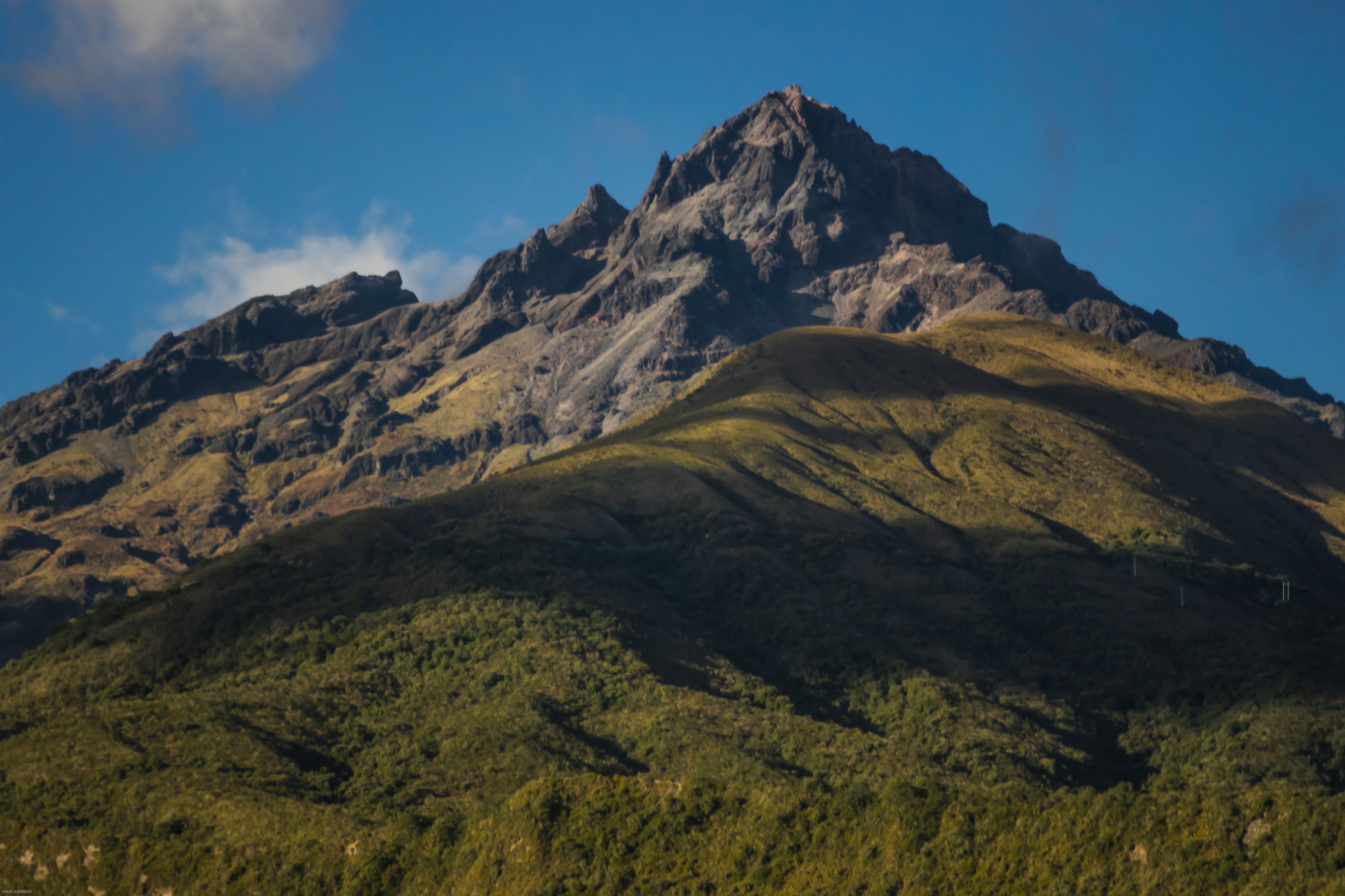
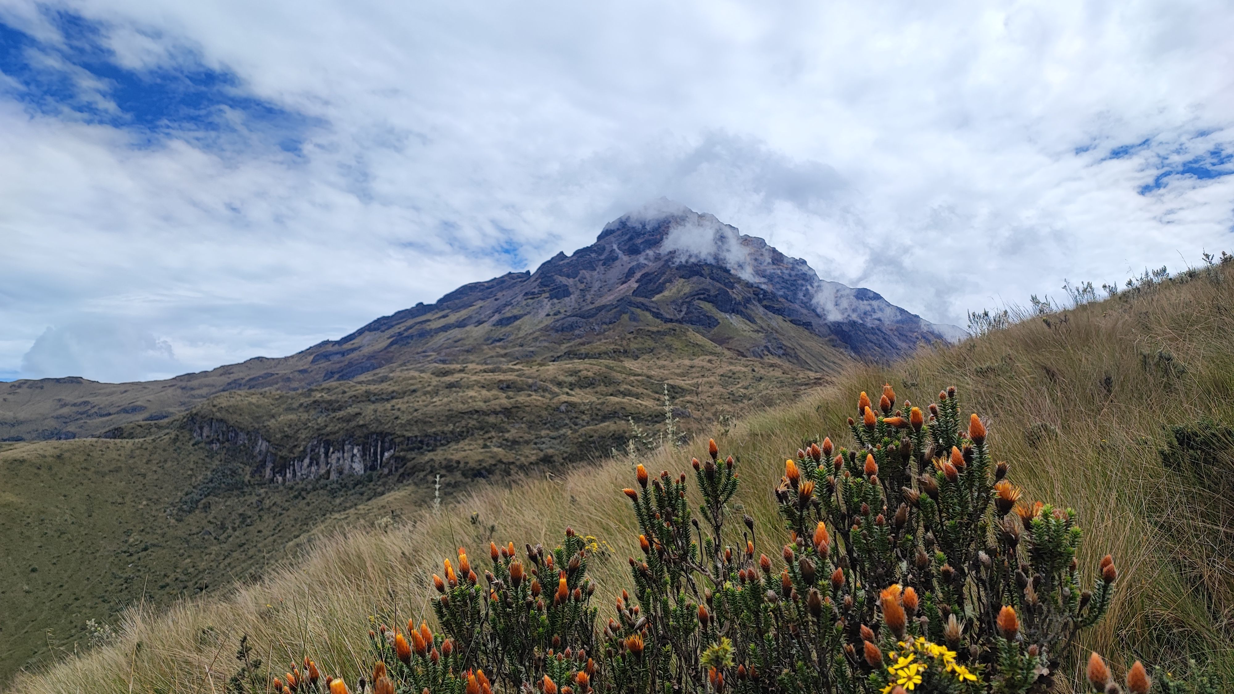
Tungurahua's nearly perfect cone stands out against the Andean sky with striking clarity in clear weather. The lower slopes are covered with humid tropical forest; higher up, vegetation gives way to black volcanic rock and ash fields. Solidified lava flows bear witness to recent eruptions, notably those of 1999-2006 and 2016.
History and context
Tungurahua erupted almost continuously between 1999 and 2016, forcing several evacuations of Baños. Before that, it had remained relatively quiet for more than 80 years. Local populations maintain an ambivalent relationship with the volcano: a source of agricultural soil fertility and tourism, yet also a permanent threat. IG-EPN has continuously monitored its activity since stations were installed on its slopes.
Highlights of your visit
Viewpoints around Baños
Several belvederes accessible by car or on foot offer direct views of the cone. The Runtún viewpoint, above Baños, is one of the most visited. Dawn and dusk are the best times: low-angle light reveals the volcano's relief and, sometimes, an orange glow at the summit.
Hiking on the slopes
Trails allow you to approach solidified lava zones on the lower slopes. The full ascent to the crater is technically demanding and subject to volcanic activity conditions. A local guide is strongly recommended for any hiking beyond marked zones.
Nocturnal observation
On clear nights and during periods of moderate activity, it's possible to observe glowing projectiles from the viewpoints. This spectacle, visible from Baños itself, remains one of the region's most striking experiences.
Photography tips
The summit frequently clouds over late morning. Prioritize the first hours after dawn for clear skies. From Baños, frame the volcano with town rooftops or the church in the foreground to give scale. A telephoto lens allows you to detail lava flows and the crater from the viewpoints.
Location and access
Tungurahua is located in Tungurahua Province, approximately 180 km south of Quito. The town of Baños de Agua Santa is the natural logistics base: it concentrates accommodations, hiking agencies, and viewpoint access. From Ambato (approximately 45 km to the north), buses regularly serve Baños. From Quito, the bus journey takes about three hours.
Nearby attractions
- Baños de Agua Santa — lively town at the volcano's base, known for thermal springs and adventure sports.
- Ruta de las Cascadas — cycling and hiking route along several spectacular waterfalls starting from Baños.
- Ambato — provincial capital approximately 45 km away, a connection point to other Andean destinations.
- Chimborazo Volcano — Équateur's highest peak, accessible in one day from Baños or Ambato.
Frequently asked questions
The dry season (June to September) typically offers the clearest skies. Early morning remains the best time of day, before clouds cover the summit.
Volcanic activity varies. Consult bulletins from the Geophysical Institute (IG-EPN) before any outing. Ecuadorian authorities may restrict access to the slopes during periods of high activity.
A local guide is strongly recommended beyond marked trails near Baños. Town agencies offer guided outings suited to different levels.
Yes. Several viewpoints are accessible by car or taxi from Baños. The Runtún viewpoint offers a clear view of the cone without significant physical effort.
Even for vehicle-accessible viewpoints, bring a warm jacket: altitude and wind can make temperatures quite cool. For hiking, complete mountain gear is essential.
Easily. Baños offers thermal springs, rafting on the Pastaza river, and the Ruta de las Cascadas by bike. One day is enough to combine a Tungurahua viewpoint in the morning and a valley activity in the afternoon.
Want to discover this destination?
Our local advisors design your tailor-made trip.