Carihuairazo
Carihuairazo
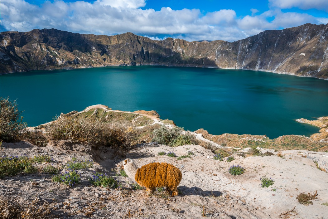
A volcanic caldera rising to 5,018 m and facing Chimborazo, Carihuairazo captivates mountaineers and trekkers amid Ecuador's páramo landscape.
Located in Tungurahua Province approximately 150 km southwest of Quito and just 8 km from Chimborazo, Carihuairazo is a volcanic caldera, the remnant of a Pleistocene stratovolcano. It sits within the western cordillera zone of the central Ecuadorian Andes. Its strategic location makes it an ideal destination for mountaineering and climbing. It's an important stepping stone for acclimatizing to the region's climate before tackling Chimborazo, one of Ecuador's highest peaks.
History
Carihuairazo was once a volcano of comparable size to Chimborazo. Following its eruption, much of the peak was destroyed, leaving behind a volcanic caldera. It is now considered dormant.
The Carihuairazo glacier was once magnificent, but climate change has diminished its splendor over recent decades. According to experts, ash deposits from recent volcanic activity at nearby Tungurahua have also contributed to this degradation. At the current pace, Carihuairazo could lose all its glaciers between 2020 and 2030.
Good to know – Carihuairazo was first summited in 1951 by Arturo Eichler, Horacio Lopez Uribe, and Jean Morawiecki.
Carihuairazo Today
Carihuairazo stands at over 5,018 m elevation and is considered Chimborazo's twin mountain, which itself rises above 6,310 m. This caldera features two main peaks: the highest at the center and a lower one to the southeast known as Mocha Peak.
Carihuairazo is part of the Chimborazo Wildlife Production Reserve. Its ecosystem, characterized by typical páramo vegetation, preserves the natural habitat of Andean wildlife including vicuñas, llamas, and alpacas.
Climbing Carihuairazo
Due to glacier retreat, summiting Carihuairazo has become a genuine challenge for mountaineers. While accessible year-round, specialized equipment is recommended. The best climbing seasons are December–January and July–August.
For trekking, the route follows the Rio Mocha valley on the Chimborazo side, continues through Abraspungu, and reaches the mountain's summit. As a protected area, trekkers will discover local biodiversity along the trails. You may encounter wild rabbits and camelids such as vicuñas, alpacas, guanacos, and llamas—the latter commonly known as llamas in Europe.
Carihuairazo lies 30 km southeast of Riobamba, 30 km northeast of Ambato, and 30 km southwest of Guaranda. From Quito, reach the Carihuairazo region via the Pan-American Highway, a system of expressways and highways connecting the Americas. Arriving in Ambato, take a bus toward Guaranda from the city's central bus terminal, then leave the main road and follow a dirt track leading directly to the mountain's two peaks.
Want to discover this destination?
Our local advisors design your tailor-made trip.