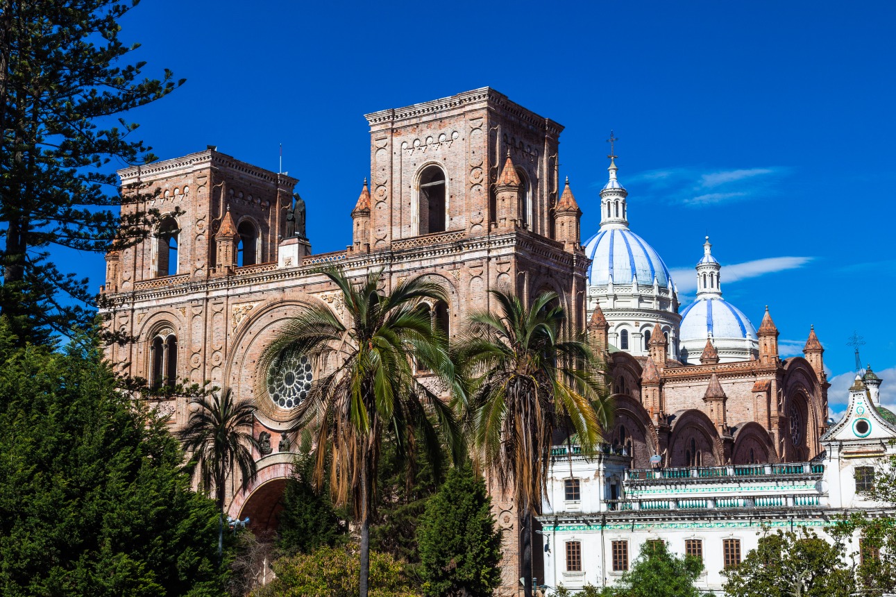
Imbabura (volcano and province)
Imbabura (volcano and province)
Andean province north of Quito, Imbabura brings together Taita Imbabura volcano (4,630 m), the volcanic lakes Cuicocha and San Pablo, the Kichwa market of Otavalo and the craft villages of Cotacachi and San Antonio de Ibarra.
Imbabura Province, in the Équateur Andes north of Quito, centers around its eponymous volcano — Taita Imbabura ("Father Imbabura") for Kichwa communities. Volcanic lakes, craft markets, indigenous villages and snow-capped peaks make up a dense territory, accessible within hours from the capital. It is one of Équateur's most vibrant Andean regions, as much for its nature as for its culture.
Practical information at a glance
- Access from Quito: approximately 2 hours by road to Ibarra (provincial capital) or Otavalo via the North Pan-American Highway.
- Altitude: Ibarra ~2,225 m, Otavalo ~2,530 m — pack warm clothing for evenings.
- Recommended duration: 2 to 4 days to cover the main sites.
- Otavalo market: Saturday is the main day, but the craft market operates daily.
- Currency: US dollar (USD), as throughout Équateur.
What to see there
The province concentrates several lakes of volcanic origin: Cuicocha, a submerged crater with two islands, San Pablo at the foot of Imbabura volcano, and Yahuarcocha near Ibarra. The Otavalo markets — textiles, jewelry, instruments — have attracted local buyers and travelers for decades. The villages of Cotacachi (leather goods) and San Antonio de Ibarra (wood sculpture) exemplify living craft traditions, not performances for tourists.
History and context
Imbabura was Cara territory before Inca and then Spanish conquest. The Otavalo Kichwa communities resisted cultural assimilation and maintained their language, dress and trading practices. Today, the Otavalos are recognized as one of Latin America's most economically active indigenous peoples, present in markets worldwide while remaining deeply rooted in their province.
Travel highlights
Otavalo market
The Plaza de los Ponchos is the heart of the craft market. Textiles with geometric motifs, tapestries, silver and tagua (vegetable ivory) jewelry line the stalls. On Saturdays, the market spills into adjacent streets with livestock, vegetables and local products.
Lake Cuicocha
This crater lake at 3,070 m altitude offers a circular hiking trail (roughly 4 hours) with views of the two central islands and surrounding volcanoes. Access is from Cotacachi.
Imbabura volcano
Reaching 4,630 m, Taita Imbabura is visible from across the province. Climbing it is possible for experienced hikers accompanied by a local guide. The summit offers a panorama of lakes and Andean valleys.
Cotacachi and San Antonio de Ibarra
Cotacachi is known for its leather workshops — jackets, bags, tooled leather belts. San Antonio de Ibarra, just kilometers from Ibarra city, concentrates wood carvers whose work is exported across the continent.
Yahuarcocha
This lake near Ibarra is surrounded by a historic racing circuit. Its name means "lake of blood" in Kichwa, referring to an Inca battle. Quiet on weekdays, it draws locals on weekends.
Photography tips
Otavalo market is most photogenic early in the morning, before the tourist crowds arrive. Always ask permission before photographing people — Otavalo vendors are accustomed to cameras but appreciate respect. At Lake Cuicocha, morning light works best before clouds cover the crater. Imbabura volcano often clears in late afternoon.
Location and access
Imbabura Province lies roughly 2 hours north of Quito via the Pan-American Highway. Ibarra is the administrative capital; Otavalo is the main tourist hub. Frequent buses connect Quito (Carcelén terminal) to Otavalo and Ibarra. By car, the road is well-maintained. The nearest airport is Quito's.
From Otavalo, Cotacachi is approximately 15 km away, Ibarra about 25 km. Most sites are accessible by taxi or local bus from these two cities.
Nearby
- Quito — Équateur's capital, the natural starting point for exploring Imbabura.
- Otavalo — market town at the heart of the province, essential for Kichwa crafts.
- Cotacachi — leather goods village at the foot of Cotacachi volcano.
- Lake Cuicocha — crater lake with a panoramic hiking trail.
- Ibarra — colonial provincial capital, known for its ice cream (helados de paila).
Frequently asked questions
The dry season (June to September) offers the best conditions for hiking and volcano views. The rainy season (October to May) makes landscapes greener but often clouds the peaks.
A local guide is highly recommended. The trail is not marked throughout its length and weather conditions change rapidly at altitude. Agencies in Otavalo and Ibarra offer guided ascents.
Yes. Imbabura pairs naturally with Quito (2 hours south) and the route toward Colombia (Tulcán). Heading south, the volcano circuit leads to Cotopaxi and Baños.
The craft market at Plaza de los Ponchos is open every day. Saturday remains the busiest day, with the general market extending throughout the town center.
Layered clothing is essential: valley days can be warm while altitude brings cool conditions. For hikes (Cuicocha, Imbabura), bring trekking shoes and a rain jacket.
Always ask permission before photographing people. Some vendors happily consent, others prefer not to be photographed. Respecting this preference is appreciated and avoids tension.
Want to discover this destination?
Our local advisors design your tailor-made trip.