Tumbaco
About twenty kilometers from Quito, Tumbaco captivates with its sunny microclimate, local markets, and verdant hillside landscapes—a simple getaway from Ecuador's capital.
Tumbaco is a town in Quito's eastern valley, nestled at roughly 2,400 meters altitude in a corridor warmer and sunnier than the capital itself. About twenty kilometers from the historic center, it draws Quiteños seeking milder weather, local markets, and a less urban pace of life. It's also a convenient starting point for exploring volcanoes and villages across Ecuador's northern highlands.
Essential info at a glance
- Altitude: approximately 2,400 m—plan for mild acclimatization if arriving from lower elevations.
- Access from Quito: intercity buses depart from La Marín or Río Coca terminals; journey takes about 30–40 minutes depending on traffic.
- Dress code: no restrictions; bring an extra layer for evening, as nights remain cool.
- Suggested duration: half day to a full day depending on chosen activities.
What to see
The town centers around a lively central plaza, bordered by a colonial church and neighborhood shops. The surrounding area offers green hillside landscapes, farms, and nurseries that supply Quito with flowers and vegetables. A handful of restaurants and cafés serve simple Ecuadorian cuisine, popular with weekend visitors from the capital.
History and context
Tumbaco is one of the ancient pueblos of the Cumbayá-Tumbaco valley, populated before Spanish conquest by Quitu-Cara communities. Integrated into Quito's jurisdiction during the colonial era, the valley long depended on agriculture thanks to its favorable microclimate. Quito's rapid urbanization since the 1990s transformed the area into a residential and commercial sector, though it has not entirely shed its agricultural character.
Highlights of a visit
The local market
Tumbaco's market brings together valley producers and artisans. Tropical fruits, seasonal vegetables, and local dairy products stand side by side. It's the most direct place to observe the town's everyday life.
Valley walks
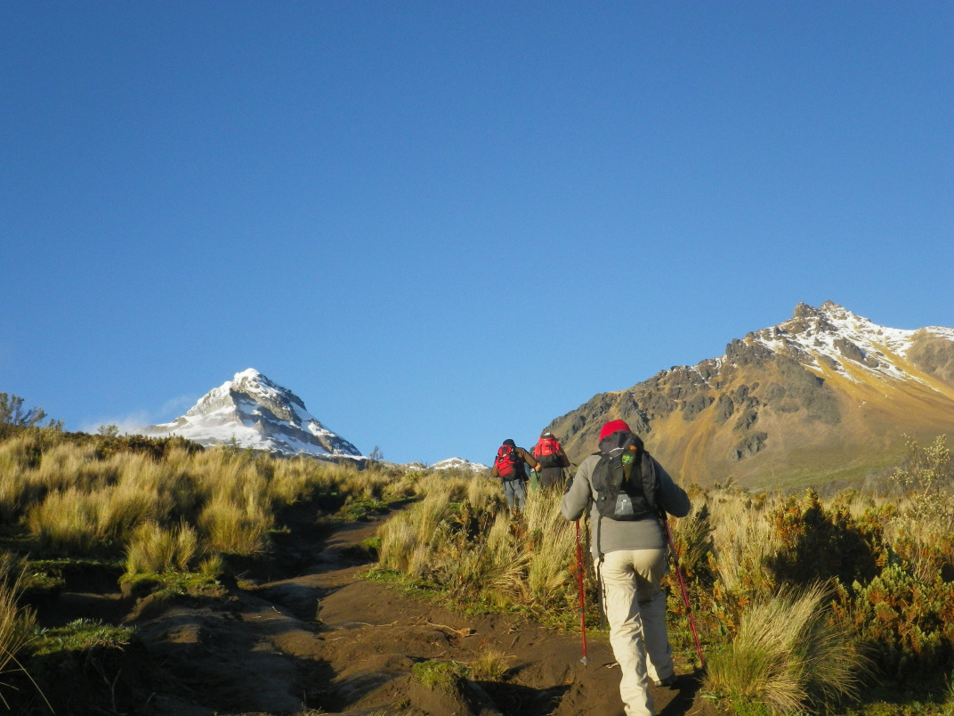
Paths leading away from the center traverse agricultural zones and offer clear views across the slopes of Ilaló, an extinct volcano dominating the valley. Hiking is accessible without specialized equipment on main trails.
The microclimate
The valley receives considerably more sun than Quito. This climatic advantage explains the concentration of flower nurseries and private gardens occasionally open to visitors—ask locally for details.
Photography tips
Morning light is most favorable for photographing the central plaza and church, before valley haze lifts. The surrounding hills offer valley vistas in late afternoon, when raking light emphasizes the terrain. No known photography restrictions exist in public spaces.
Location and access
Tumbaco lies east of Quito in the Cumbayá-Tumbaco valley, accessible via Avenida Interoceánica. Buses from Quito are frequent and affordable. By taxi or rental car, allow 20 to 40 minutes from the historic center depending on traffic. The town is close to Cumbayá, an adjacent residential and commercial neighborhood, and forms a natural waypoint on the road to Papallacta and its thermal springs.
Nearby attractions
- Cumbayá — neighboring town, more urbanized, with restaurants, cafés, and the USFQ campus; a few minutes by bus.
- Papallacta — high-altitude thermal springs on the route toward the Amazon; roughly 1 hour 30 minutes by road from Tumbaco.
- Quito's historic center — Unesco World Heritage site, about thirty kilometers to the west.
- Ilaló Volcano — extinct volcano between the Tumbaco and Los Chillos valleys, accessible for hiking from villages at its base.
Want to discover this destination?
Our local advisors design your tailor-made trip.